


Got it Made Stratford
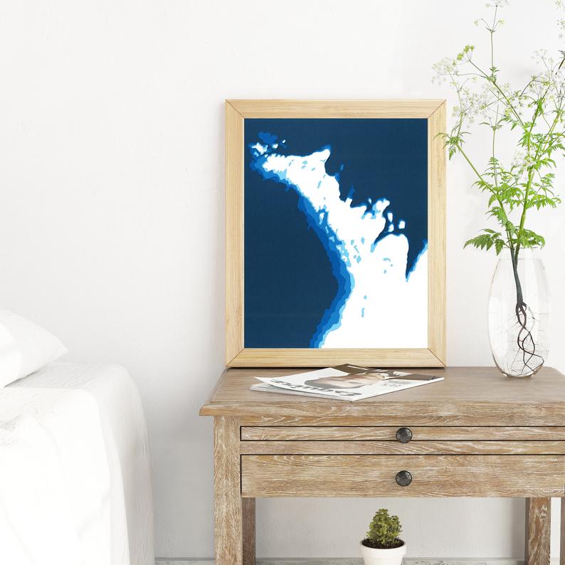
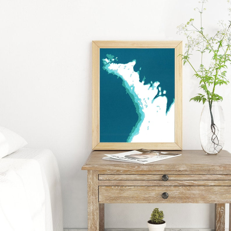
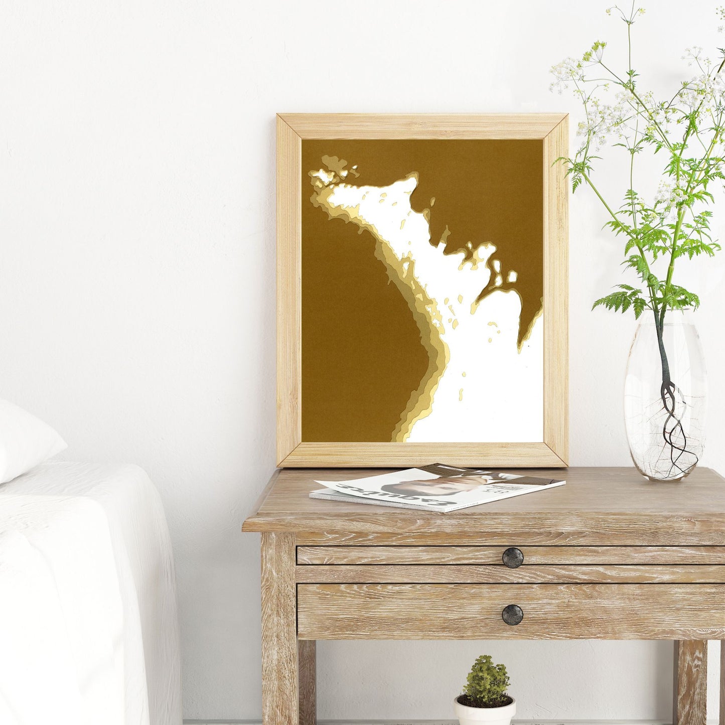
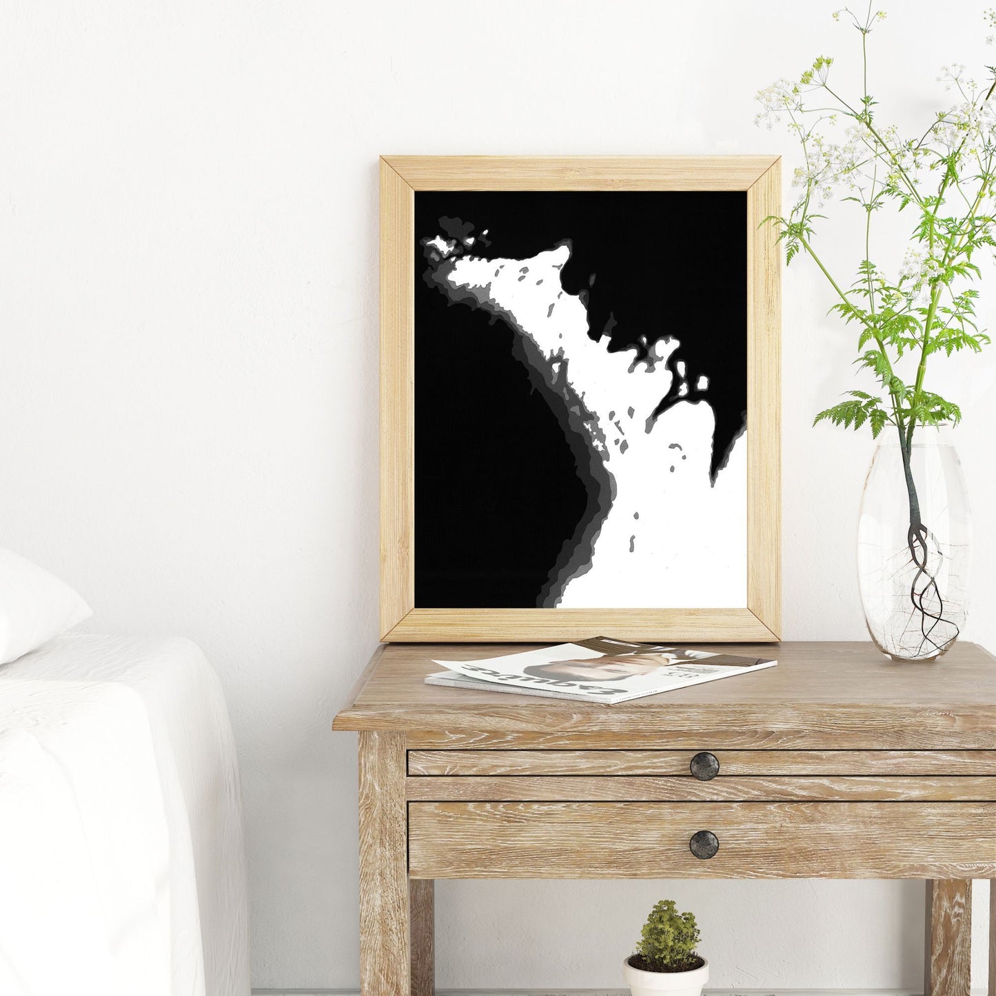
Cardtography Map - The Bruce Peninsula
Regular price
$65.00 CAD
Regular price
Sale price
$65.00 CAD
Unit price
per
Shipping calculated at checkout.
Couldn't load pickup availability
The Bruce Peninsula, home to such beautiful locations as Wiarton, Owen Sound, Lion's Head, Miller Lake, and Tobermory! The detail of this iconic Ontario landscape is captured in this amazing 8x10 papercut map.
This map features 5 layers of brilliant coloured cardstock - white representing the land, and four shades of colour, each darker layer capturing a deeper section of water.
Each of Cardtography's maps are meticulously hand-designed, then cut and hand-assembled by artist Cameron Seaborne in London, Ontario.
**Please note - this listing is for the map only