

Cardtography
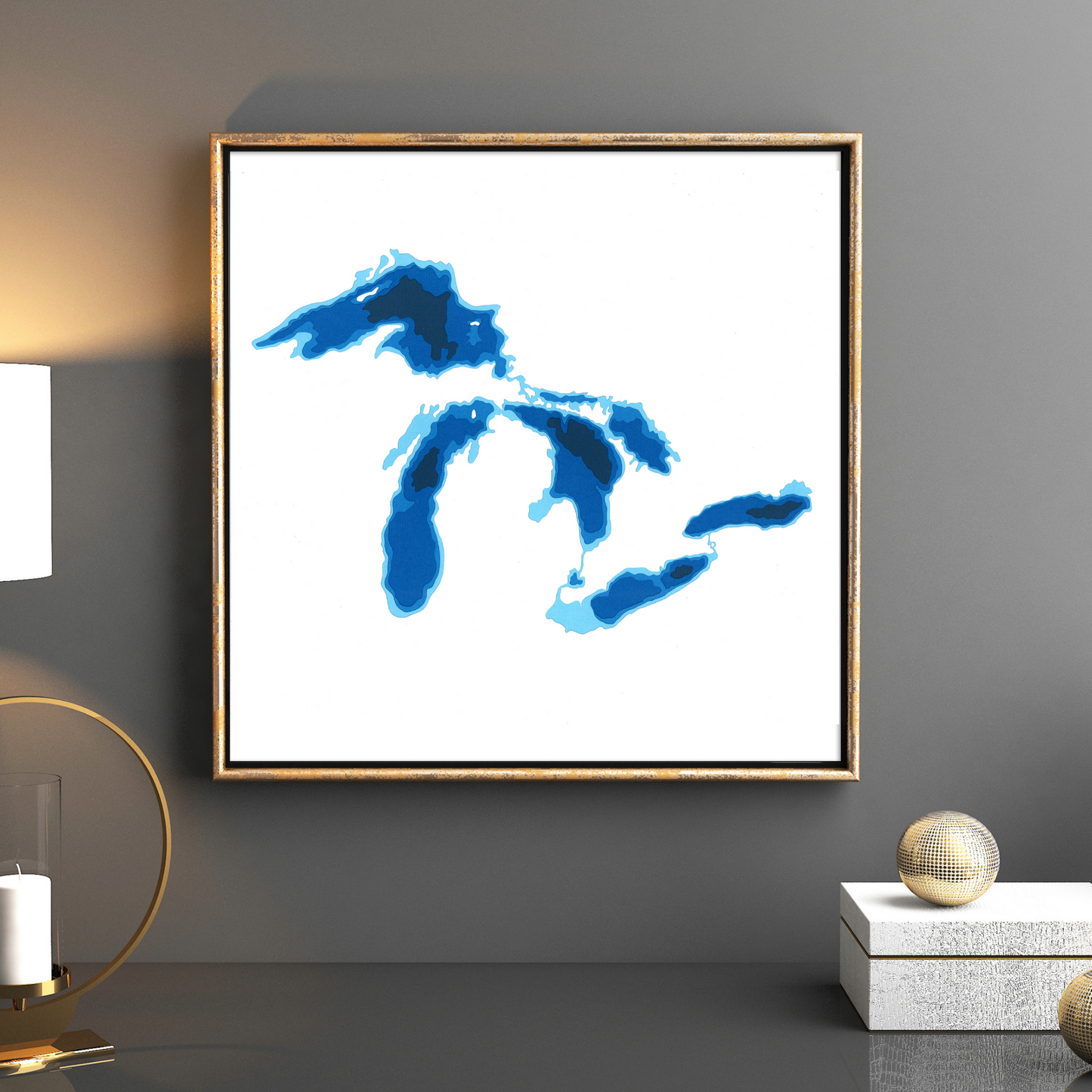
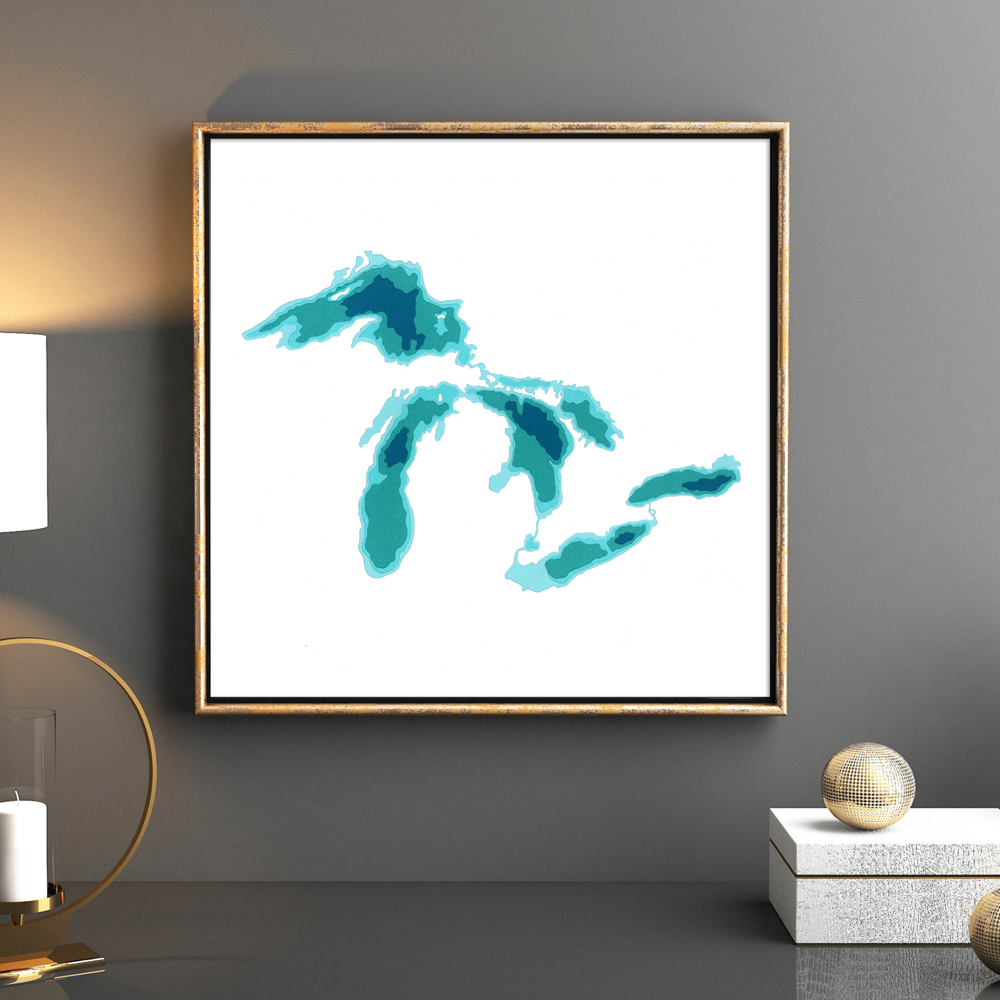
Cardtography Map - Great Lakes
Regular price
$60.00 CAD
Regular price
Sale price
$60.00 CAD
Unit price
per
Shipping calculated at checkout.
Couldn't load pickup availability
This unique piece is a 12"x12" map of The Great Lakes, capturing the depth of the lake waters.
The iconic Great Lakes of North America. 60 million people live in the Great Lakes region - Ontario, New York, Pennsylvania, Ohio, Indiana, Michigan, Illinois, Wisconsin, and Minnesota.
This map features 5 layers of brilliant coloured cardstock - white representing the land, and four shades of colour, each darker layer capturing a deeper section of water.
Each of Cardtography's maps are meticulously hand-designed, then cut and hand-assembled by artist Cameron Seaborne in London, Ontario.
**Price is for print only